
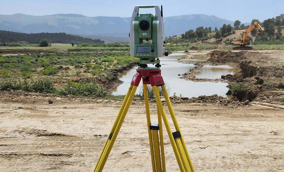
Land Surveying
Land Surveying Services
CD&E can help coordinate and provide clients with the critical information needed for effective planning, design, and execution. Surveying helps lay the groundwork, facilitates informed decision-making, and streamlines the construction process. Whatever your land surveying needs are, including land surveys, boundary surveys, topographic mapping, and beyond, CD&E will help you get it right the first time, eliminate non-value-added work, avoid costly rework, and improve process performance.
-
Rezoning:
Expert assistance in navigating the complex process of rezoning properties to meet your development needs, ensuring compliance with local zoning regulations and facilitating project approval.
-
Lot Splits:
Professional lot split services to help you divide parcels of land efficiently, maximizing the potential of your property while adhering to legal requirements and city planning guidelines.
-
Subdivisions:
Full-service support for subdivision projects, from initial planning to final approval, helping you create functional, well-planned residential or commercial developments.
-
ALTA/NSPS Land Title Surveys:
Accurate and detailed ALTA (American Land Title Association) surveys that provide critical information for property transactions, ensuring clear titles and reducing potential legal disputes.
-
Plats:
Preparation of plats for the official division of land into parcels, providing clear documentation for developers, lenders, and municipalities to facilitate smooth land transactions and developments.
-
Boundary Surveys:
Precise boundary surveys to accurately determine property lines and ensure that any construction or land use complies with legal property boundaries.
-
Topographic Surveys:
Detailed topographic surveys to capture the contours, elevations, and features of the land, enabling effective design, planning, and construction.
-
Terrestrial & Aerial LiDAR:
Cutting-edge terrestrial and aerial LiDAR (Light Detection and Ranging) services to generate highly accurate, high-resolution 3D models of the land, providing invaluable data for planning, development, and environmental assessments.